
Types of Geophysical Surveys for Levees
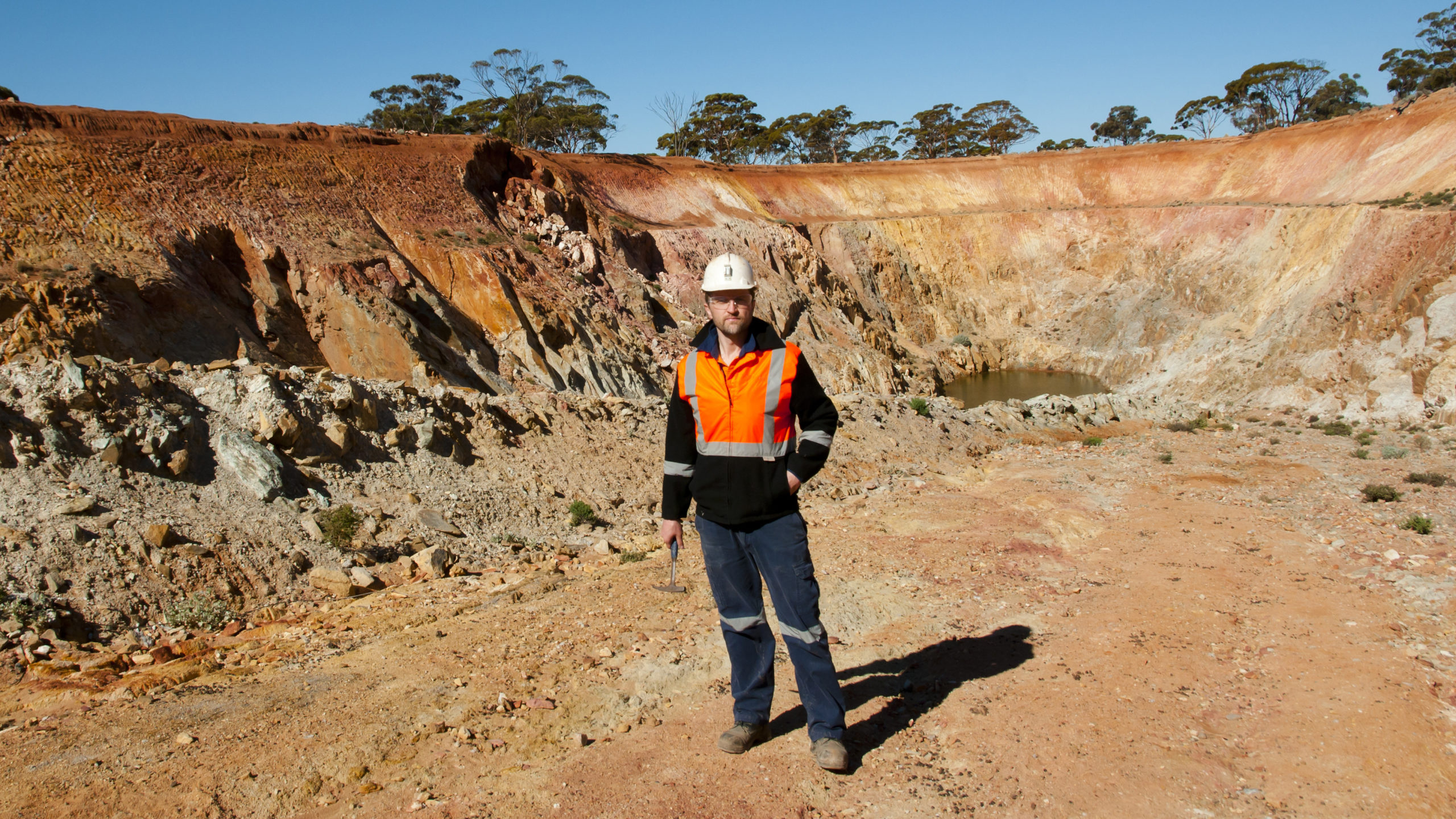
Geophysical methods are crucial for evaluating the condition of a levee. Engineers and professionals use ERI, GPR, MASW, EM31, and other instruments to map soils and the construction of a levee. Levees are an essential component of many landscapes and communities, providing protection against damaging floods and other water-related disasters. For centuries, levees have been used to protect communities and infrastructure from the devastating effects of flooding. Levees are typically constructed with earth embankments or dikes that are designed to control the flow of water along rivers and other bodies of water. Although levees can be constructed from a variety of local materials, most use a combination of soil, rock and sand in order to create an effective barrier against floodwaters.
The maintenance and inspection of levees is critical for ensuring they are functioning optimally at all times. Inspections typically involve evaluating the condition of the materials used in construction, as well as assessing any signs of erosion or slumping. Geophysical methods such as ERI, GPR, MASW, EM31 and others can be used to map soils and construction that comprise a levee. This helps engineers establish whether a levee may require repair or maintenance work in order to remain effective against potential flooding events.Geophysical methods are often used to map and image the subsurface conditions of a levee.
What is a levee?
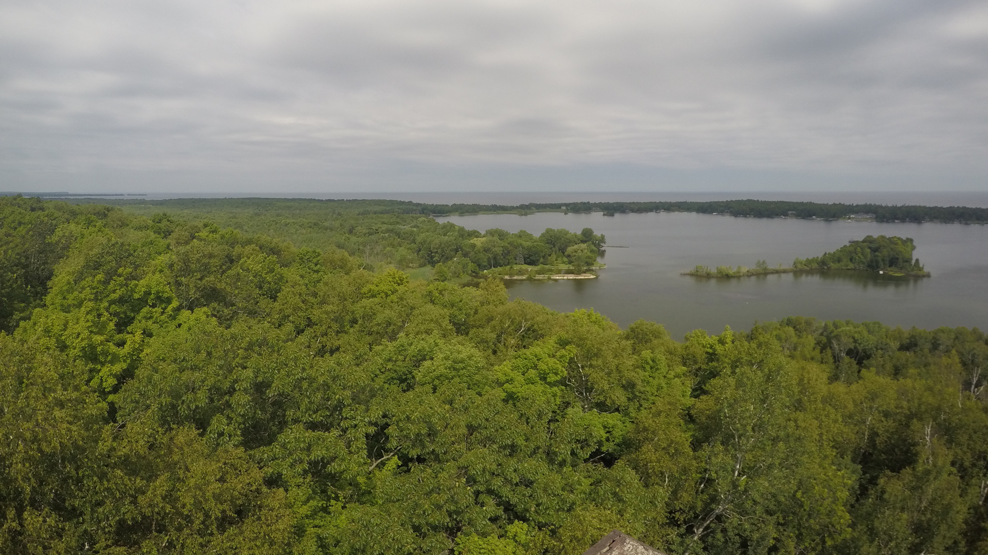
Levees are an essential tool for providing protection from floods and other water-based disasters. They come in a variety of shapes, sizes, and locations, ranging from small earthworks to large concrete structures. Levees can be seen along rivers, streams, or even on the open ocean. Many levees are only a few feet high; however, larger ones may stand well over 50 feet or more. These structures play a crucial role in flood prevention, allowing communities to divert water around vulnerable areas and protect them from potentially devastating damage.
In addition to their protective benefits, levees can also provide additional functions such as creating habitats for fish and other wildlife or providing recreational opportunities like boat launches. To ensure they remain effective at protecting homes and businesses from floods, levees need to be regularly assessed with geophysical methods such as ground penetrating radar (GPR), multi-channel analysis of surface waves (MASW), electrical resistivity tomography (ERT), and electromagnetic surveying (EM). Doing so allows others to identify weaknesses or potential hazards that could weaken the structure or cause it to fail during a severe storm event. We must remain diligent in assessing our levees if we want to avoid the devastation that comes with unmitigated flooding.
Electrical Resistivity, Soil Resistivity, or Earth Resistivity Methods
Electrical Resistivity Imaging (ERI) is a geophysical method that utilizes electrical current to map variations in the subsurface resistivity of soils, rocks, and fluids. It is an invaluable tool for levees, groundwater exploration, natural resource exploration, environmental studies, archaeological exploration, and engineering studies. With this data, engineers are able to map the composition of a levee and quickly identify potential weak spots or problems. In addition, ERI can detect variations in subsurface moisture levels, which can alert engineers to potential seepage issues that could compromise the levee’s integrity. Furthermore, ERI is able to detect previously unknown features such as underground culverts, pipelines, or unexpected facilities that may have an impact on the levee’s stability. By using electrical resistivity imaging, professionals can better ensure that a levee is up-to-date and in optimal condition for protecting communities against flooding and other water-related disasters.
The ERI process involves injecting an electrical current into the ground and measuring the resulting voltage response at various electrodes that are placed on the surface or in boreholes. Different configurations of electrodes can be used depending on what information is desired; these array types include Wenner, dipole-dipole, pole-dipole, pole-pole, Schlumberger, self potential, and induced polarization techniques. Electrical soundings are often used to begin mapping a site before more detailed profiles or cross sections are obtained via multi-electrode measurements. Interpretation of the data can then provide an estimate of the spatial distribution of electrical resistivity within the subsurface volume studied. This information can be used to infer rock types and identify areas with higher permeability or saturation that may indicate sites with potential water resources. ERI can also be used to identify locations of pollution plumes or contaminated groundwater due to increased conductivity associated with pollutants in groundwater.
Seismic Refraction, Seismic Reflection, and Multi-Channel Analysis of Surface Waves MASW Methods
Seismic methods are widely used in the earth sciences and engineering for a variety of investigations. Seismic waves are commonly generated by an energy source, such as an earthquake or an explosion, and propagate through the subsurface. By analyzing these waves, geoscientists can determine characteristics of the subsurface materials and structures. These characteristics include velocity, amplitude, wavelength, frequency, and path traveled. Variations in these properties allow geoscientists to map out subsurface features including stratigraphic layers, faults and fractures, sedimentary basins, or other discontinuities in rock layers or soil profiles. Furthermore, seismic methods can be used to estimate physical parameters such as shear modulus of rocks, porosity of soils or sands, groundwater saturation, rock formations, and more. In addition to providing data about the subsurface environment for geologic interpretation purposes, seismic methods are also often used for civil engineering applications such as designing bridges, levees, and dams.
Seismic Refraction and Reflection
Seismic refraction and reflection are two of the most commonly used seismic methods for studying the subsurface. Seismic refraction involves sending an acoustic wave from a surface source, typically a sledgehammer and plate, explosive charge, or vibrator. A seismograph measures the time that it takes for the wave to travel through and refract off of each layer. The velocities of each layer can then be determined by plotting these times against distance traveled. Seismic reflection often uses the same acoustic sources to send waves into the subsurface, which bounce back off boundaries between different layers in the rock, providing information about those layers’ depths and types. Reflection methods can also provide more detailed images of faults and other structures at greater depth than refraction methods. Generally, seismic techniques are useful in understanding different layers of soil/rock composition as well as subsurface structure such as faults and fractures.
Multi-channel analysis of surfaces waves or MASW
Nowadays, MASW (Multichannel Analysis of Surface Waves) is one of the most widely-used geophysical techniques. MASW seismic methods are a key tool for understanding the construction of levees and their risk of failure. MASW is a type of seismic survey that helps determine shallow-depth characteristics like soil stiffness with high accuracy. MASW surveys are popular due to their effectiveness in gaining detailed information about subsurface structures quickly and accurately. This method uses surface-wave propagation to determine the subsurface characteristics of soil deposits, both near the surface and at great depths. MASW is a non-invasive technique that can detect potential problems in levee construction without having to dig up the area or take core samples from the ground. It can also identify areas that might be prone to erosion or seepage, as well as detect possible cavities or voids within that could eventually cause instability. By using this method, engineers can gain insight into the overall condition of a levee in order to determine if upgrades and repairs are needed.
The MASW (or Multi-channel Analysis of Surface Waves) seismic survey is an innovative and reliable tool for assessing the subsurface properties of soil and rock. With a MASW seismic survey, ground vibrations are emitted through the use of low-frequency energy sources, such as a sledgehammer and plate, vibratory hammers, weight drops, or passive noise from traffic, factories, railroads, and even wind. The method uses Rayleigh surface waves to characterize the shallow subsurface. During a MASW survey, a seismic source is used to generate seismic waves that propagate as surface waves. These surface waves are recorded by a series of geophones, commonly spaced out in a linear array. By analyzing how the surface wave changes as it moves across the array, the shear wave velocity profile of the subsurface can be determined. The shear wave velocity is sensitive to changes in stiffness with depth, so it can reveal properties of soils and rocks, as well as the depth to bedrock or other geologic interfaces. MASW is a popular method because the equipment is relatively inexpensive and surveys can be completed quickly.

Electromagnetic Frequency Domain (electromagnetic terrain conductivity) and Time Domain Methods
Geonics EM terrain conductivity meters are an essential tool for characterizing levees. These devices are used to measure the electrical properties of soils, rock, and fluids, which can provide insight into the composition of a levee’s subsurface layers. Geonics EM meters penetrate deep into the soil and reveal information about the structure and components of a levee that would not be visible on the surface. This data helps engineers determine if a levee is structurally sound or needs to be repaired or updated. Additionally, Geonics EM terrain conductivity meters help identify underground water sources that could potentially weaken a levee’s structural integrity over time. By obtaining this information, engineers can make sure all necessary precautions are taken to keep levees safe and secure in the event of a flood or other water disaster.
The Geonics EM instruments (EM-31, EM-38, EM-34) use frequency domain electromagnetic induction to measure apparent soil conductivity. An alternating current is passed through a transmitter coil, which generates a primary magnetic field. This magnetic field induces eddy currents in the ground that produce a secondary magnetic field. The received signal from a receiver coil depends on the conductivity of the ground, with more conductive soil producing a larger received signal. The EM instruments can determine apparent conductivity of the soil. Since conductivity depends on factors like clay content, moisture, salinity, or contaminants, the apparent conductivity provides information about the subsurface’s physical and chemical properties. By measuring these parameters using multiple frequencies, the instruments can determine an apparent conductivity that reflects the bulk electrical properties of the soil to a depth of 1 to 200 feet below the surface. Since it is highly portable, one can screen 100’s and even 1000’s of acres in far less time than other more high resolution methods.
Ground Penetrating Radar or GPR
Ground Penetrating Radar (GPR) is a powerful tool used to identify subsurface features and conditions of levees. GPR works by emitting electromagnetic waves into the ground, which then reflect off objects and boundaries below the surface. The echoes are detected by an antenna and can be used to create an image of the subsurface. GPR is incredibly useful for evaluating levee conditions because it can help engineers identify subsurface features such as soil composition, voids, drainage layers, compaction levels, and more. Additionally, GPR can detect changes in the material structure that could lead to potential weak spots or weaknesses in the levee walls. By using GPR to analyze a levee’s condition and structure, engineers can confirm its ability to protect against flooding and other water-related disasters.
GPR is often used in combination with other instruments to provide detailed images and data on soil composition, water table, voids, embankment stability, and structural integrity. It can also be used to locate underground utilities (Sensors & Software Noggin 250, Noggin 500, or LMX) that may have been buried beneath the levee. GPR instruments have an extensive range of setups designed for multiple types of GPR investigations. Lower frequency antennas with very high stacking capabilities (Sensors & Software pulseEKKO Ultra GPR system) are able to penetrate deeper underground, however with a diminished resolution. When the conditions on-site are favorable, the results from a GPR survey can be astonishing! On the other hand, when facing unfavorable circumstances it may become tricky to interpret and understand your findings. Click here if you need additional assistance planning out or executing your ground penetrating radar project.
Magnetic Methods
A magnetometer survey is a powerful and precise geophysical tool that can be used in surveying levees. The G858 magMapper magnetometer by Geometrics is commonly chosen for these surveys due to its capability to measure the fluctuations in the earth’s magnetic field with great resolution and accuracy. Not only does this enable detection of embedded objects that could be potentially damaging, but it also eliminates false positives from other types of non-magnetic material commonly found near levees. Additionally, because magnetometers provide a clear depiction of the earth’s magnetic field within a surveyed region, they can be used to identify anomalies that may signal previously unidentified problems in or around a levee. Using this instrument, engineers and planners are able to identify potential buried objects or hazardous materials that could weaken the security of an embankment. This includes sheet pilings, metal tie-backs, underground pipes, cables, fill material, and drums. By detecting unwanted metals or items near a levee before they pose a risk, preventative measures can be taken to ensure the stability and safety of the structure. Furthermore, magnetometers are noninvasive tools that do not disrupt a site during a survey and reveal valuable information concerning subsurface items with minimal effort from surveyors.
With the help of modern geophysical survey methods and advanced magnetometers like the Geometrics G858 magMapper, operators can accurately map out variations in the earth’s magnetic field over large areas quickly and efficiently. In addition, magnetometers have become increasingly more advanced over recent years with greater resolution and sensitivity. With improved technology comes more reliable and comprehensive results that can be quickly analyzed by software programs like MagViewer making it easier than ever to detect potential zones of interest around a levee or other structures such as dams or water retention ponds. Magnetometer surveys are essential in ensuring the safety of important structures like levees against unexpected risks posed by buried metal object.